- Membership |
- Shop |
- Calendar |
- Donate
A resource for reliable information about significant people, places, events, and things in Minnesota history.
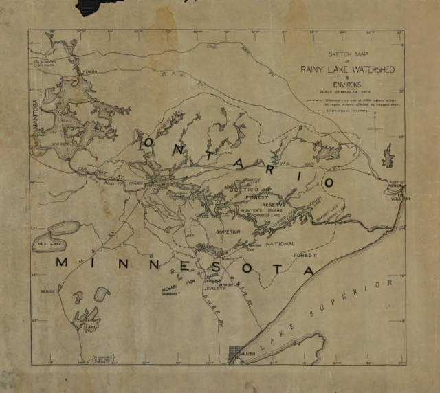
Hand-drawn 1920s map of the Rainy Lake watershed in both Minnesota and Ontario, possibly drawn by Ernest Oberholtzer, showing the 14,500 square miles that would have been effected by Edward Backus’ proposed dams. Used with the permission of the Oberholtzer Foundation.